New technologies in water
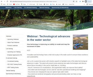
Our final Australian Water School webinar for 2021 covered new technologies that are helping to advance flood modelling and other water-related disciplines, including drones, 3D printers, artificial intelligence/machine learning, and augmented/virtual reality. View the recording here:
We received a tremendous number of suggestions in response to earlier polls, making the selected topics hard to choose, so some of the honourable mentions that didn’t make it into the presentation are also highlighted below. Details on the presenters, including presentation slides, are available on the Australian Water School website here:
Following are some background resources to support the presentation materials; please submit additional suggestions for technologies we can showcase here.
Drones
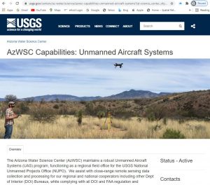
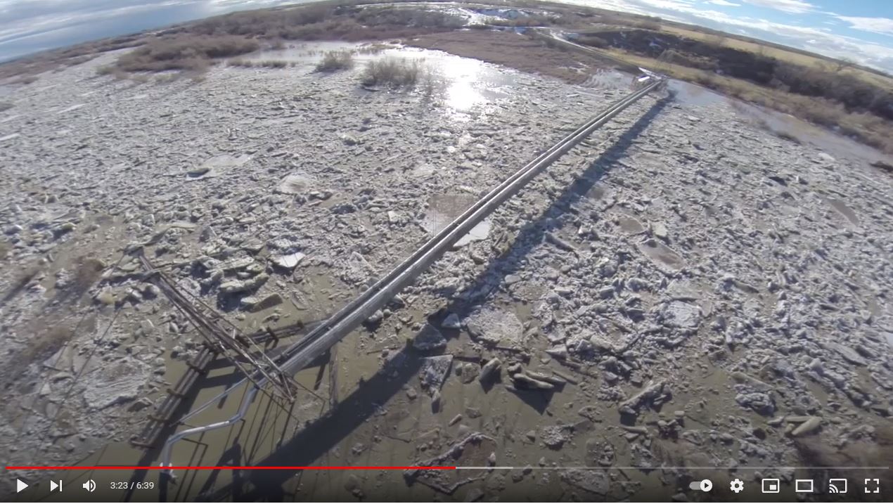
Drones can help improve flood safety and aid flood modelling by providing up to sub-centimetre data for any site in the world. Here is a link to a USGS website covering applications for drone-based data acquisition:
Highlighted water-related applications listed on the USGS page:
- Stream gauge support
- Channel mapping for 1 and 2D hydraulic models
- High water marks
- Video velocimetry measurements of flood conditions
- Thermal infrared mapping of spring resources (detection and localization)
- Riparian habitat monitoring for aquatic species (population counts and species concentration)
- Near-infrared data collection for: vegetation health and productivity, plant species identification, photosynthetic production in cryptobiotic soil crusts
- Burn severity response in soils for watershed characterization;
- Color electro-optical photography and videography for terrain mapping and surface model creation
- Orthoimage creation and change detection in vegetation and riverine environments
- Surface velocity profiling of lava and mud flows
- Flood-related search and rescue operations and emergency response support
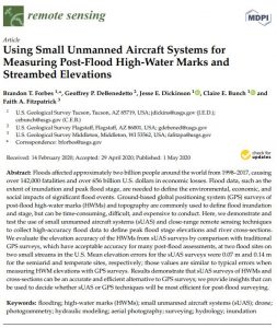
- This USGS paper covers the use of drones for gathering high water marks after flood events: Using Small Unmanned Aircraft Systems for Measuring Post-Flood High-Water Marks and Streambed Elevations (download pdf)
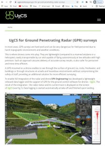
- Here is an example of a drone-mounted ground-penetrating radar system, which can aid palaeochannel mapping and other applications:
- Drones can also be useful for collecting water quality samples, especially in hazardous areas such as pit lakes with steep walls as outlined in this article and accompanying video by Golder Associates. Here is some video footage showing an example of a water quality sampling drone being used in Brisbane:
- Here is an article and accompanying video about the US National Guard using drones to support flood relief efforts
- Drone-based coastal flood damage data collection along Australian coast:
- Drones delivering supplies to campers stranded by floodwater (now how about some sandbags?):
Augmented Reality / Virtual Reality
- Check out Pixel Farm‘s virtual reality system that helps convince drivers to stay out of floodwaters:
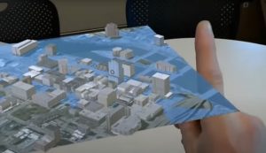
- UI Hydroinformatics Hydrological Simulation System:
- UI Hydroinformatics Flood Action VR:
- UI Hydroinformatics Flood Generator:
- Check out this sandbox that uses a Kinect 3D camera to show water movement [Here’s a similar system that uses an Xbox, with an accompanying video showing instructions to build your own]
- The Queensland Reconstruction Authority has produced hyper-realistic videos of flooding for public service messaging:
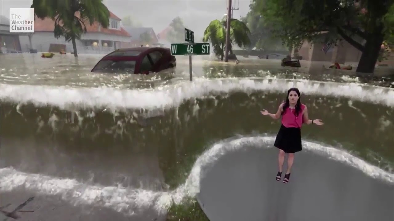
- The Weather Channel uses similarly impressive graphics when reporting on flooding, helping the audience to visualise predicted or reported flood levels:
Artificial Intelligence / Machine Learning
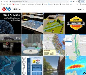
- The UI Hydroinformatics Lab has some innovative new projects that are applying artificial intelligence and machine learning, including Flood AI: Artificial Intelligence for Flood Preparedness:
- Machine learning to improve hydrologic calibration and reduce risk (HWRS 2021 paper by Kyle Thomson)
- AI for High Precision Model Development (FMA 2021 paper by Jordan Maultby)
- Using AI for direct rainfall, runoff-routing, and FFA (HWRS 2021 paper by Jordan Maultby)
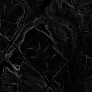
- Many time-saving automated routines are being developed to aid in post-processing terrain data that can be very helpful for hydraulic model inputs, including derivation of surface roughness, buildings, hydrologic enforcement of channels, and more. See more about deep learning techniques for enhancing LiDAR data using Generative Adversarial Networks:
3D Printing
- This RAS Solution blog article by Michael Link steps through the required hardware and software to produce 3D prints of your HEC-RAS model, with the dynamic results projected onto the physical model surface. The article includes do-it-yourself instructions and also covers 3D animation in Google Earth and other platforms: HEC-RAS in 3 Dimensions
- Our webinar covered 3D printing for physical models of fish passage structures, but how about 3D printed fish to use in those models?
The topics above were selected for presentation in our webinar based on poll results
Below are some honourable mentions that didn’t get featured in the webinar – if you’d like to see any of these featured in future webinars, or if you have additional suggestions we should include here, let us know!
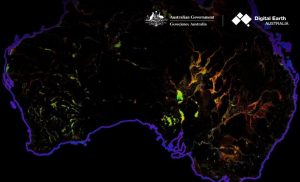
- Give your models a reality check with Water Observation from Space (WofS)
- Structure from Motion (SfM) offers some exciting advantages for urban flood modelling:
- Watch this bot do its thing: Automatic spiral-wound pipe lining machine:
- Why is is so satisfying to watch pipes get cleaned out? Don’t answer that…but enjoy this clip of a hydro-jet root saw chain cutter:
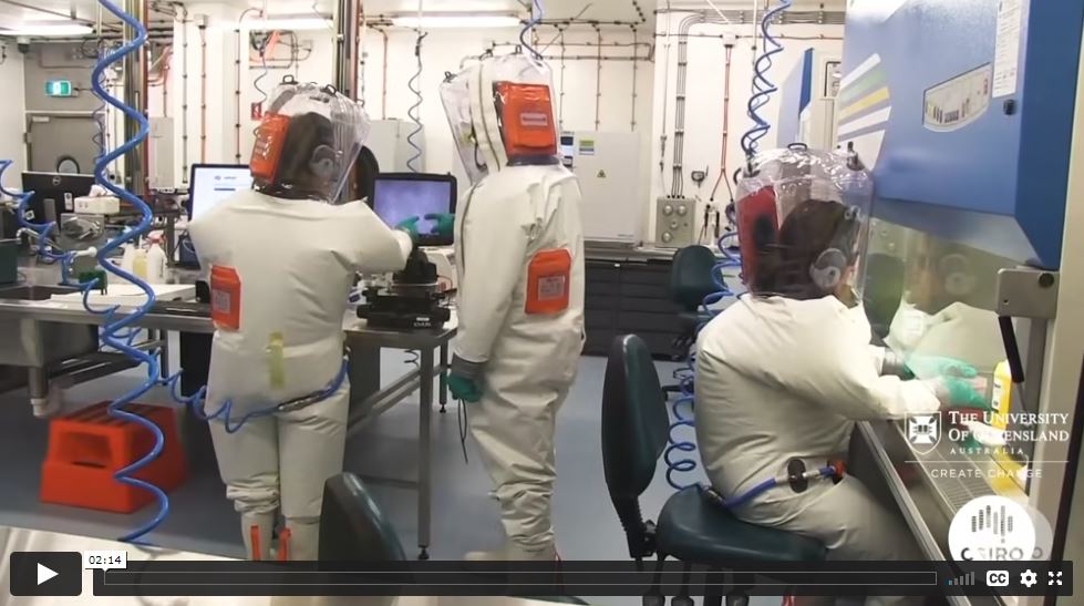
- COVID testing for sewers:
- Floating solar farms that double as evaporation control and can be especially useful for power generation near pumped storage hydropower projects:
- Salmon Cannon: Not sure how much the fish like this one, but it sure is fun to watch!
- Floating cars in the lab:
- Fish passage upgrades for culverts:
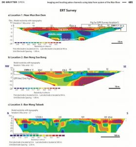
- Electrical Resistivity Tomography for mapping palaeochannels:
– Locating Palaeo-channels using Geophysical Data (ERT and GPR)
– ERT: Infilling Processes Study of a Rhone River Paleo-channel
– High-Density ERT: Identification of Palaeochannels of Mihe River
Thanks for your interest in our tech webinar. Please send any suggestions for additional tech content to be featured on this site or future topics to cover in our webinars and courses. View the current line-up for our 2022 webinar series here, which includes the hydraulics of waterslides, whitewater parks, and standing surf waves. We look forward to your continued participation with AWS!

